Environmental Profile
The Environmental Profile section of the SRUC report Rural and Agricultural Development: Maximising the potential in the islands of Orkney, Shetland and Outer Hebrides can be downloaded as a stand alone document from the link below. This section draws on a wide set of publicly available datasets to help develop a picture of climate change, species and habitat contributions made by the islands. Some findings from this section of the report include:
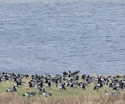
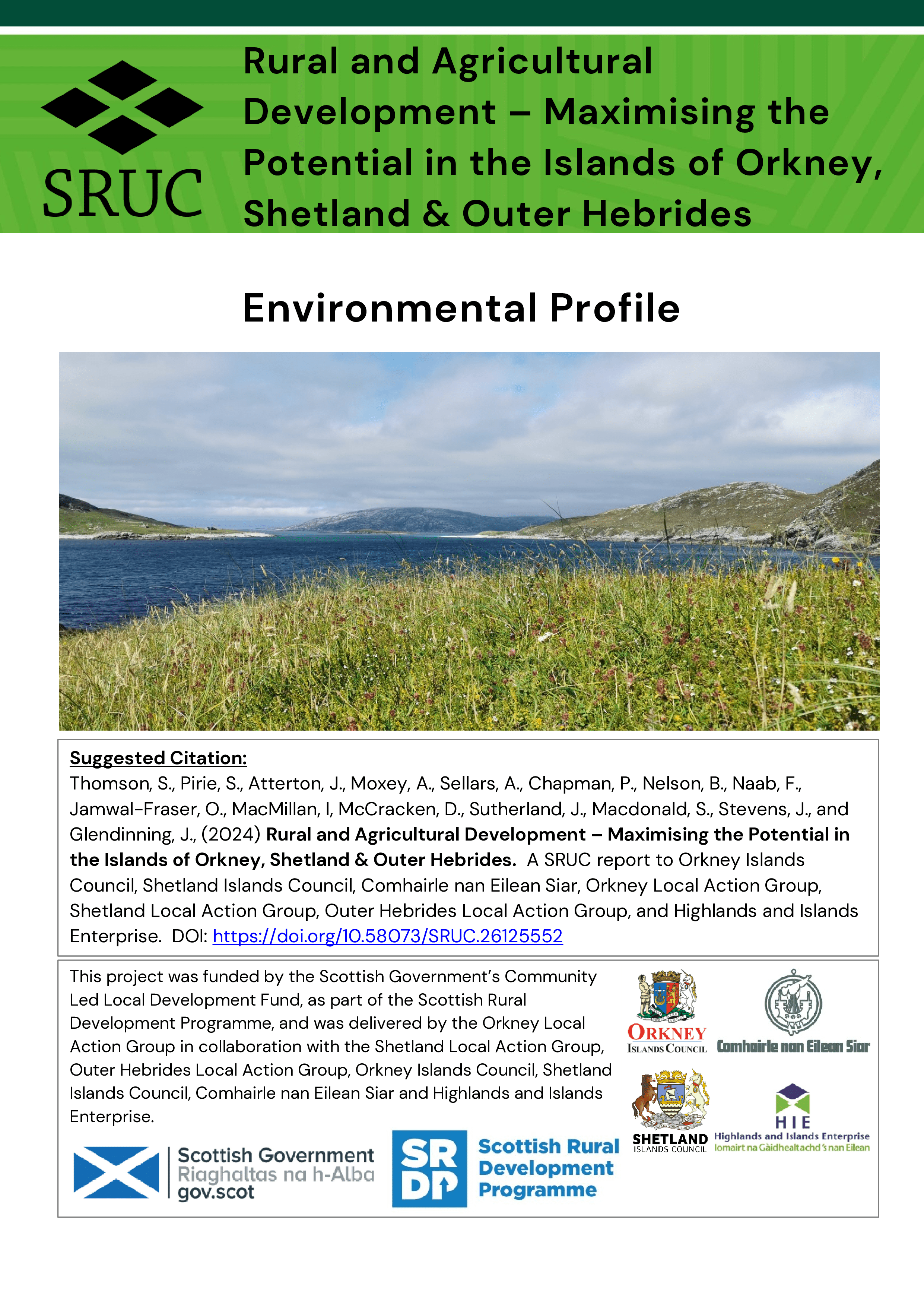 Orkney, Shetland, and the Outer Hebrides host many nationally and internationally valued: (a) habitats and species that are important for biodiversity and (b) peatland sites.
- High Nature Value (HNV) farming and crofting systems across Orkney, Shetland and the Outer Hebrides are heavily dependent on agricultural support funding, especially Less Favoured Area Support and income from Agriculture, Environment & Climate Schemes (AECS). Maintaining elements of that support but also ensuring that funding can be mobilised to allow HNV farmers and crofters across the islands to take advantage of technological advances will be fundamental to maintaining the systems, and associated biodiversity value, in the future.
- These islands' unique land use, and agricultural profile, coupled with sparse populations and limited alternative economic base means these islands stand apart in terms of their climate change emissions- profile. Across Scotland 'Agriculture' and 'Land Use, Land Use Change and Forestry' (LULUCF) sectors contributed 26% of Scotland’s net climate change emissions in 2021 (up from 19% in 2006). This compares with 76% of net emissions from Orkney (up from 69%), 85% of net emissions in Shetland (up from 74% in 2006) and 87% in the Outer Hebrides (up from 80% in 2006).
- Terrestrial statutory protected areas (SSSIs, SACs and SPAs), which often overlap in area, cover a total of 31.8% of the land area of the Outer Hebrides, 13.6% of Shetland and 24.5% of Orkney. The three island groupings account for c.12% of Scottish SSSIs (8% of area), c.16% of terrestrial SACs (10% of area), 38% of terrestrial SPAs (10% of area) and 12% of Ramsar sites (24% of area). These areas, and wider agricultural land provide important habitats and breeding grounds for many species and contain high deposits of peatland (particularly in the Outer Hebrides and Shetland).
- The traditional farming and crofting regimes present across much of these island groupings maintain important habitat for farmland species. The continuation of this type of agricultural activity should be recognised and supported, ensuring there is an avoidance of both significant intensification (which is associated with lower nature value) and agricultural exit and abandonment of agricultural activity. The later can result in vegetation communities unsuitable for the species currently prioritised through agri-environment schemes.
- Future tiered support should take consideration of the existing positive biodiversity and environmental outcomes being achieved in these island groupings – as well as where management needs improving. Positive actions should inform the types of conditional measures (Tier 2) and targeted scheme design (Tier 3) of future agricultural support – with training needs and support identified to facilitate a just transition through Tier 4.
The download link to this section of the report is found below, or you can return to the main report page here.


